Video in Finnish, but there are English subtitles available! Enjoy!
Islannin halkihiihto pohjoisesta etelään keväällä 2024. Kaikki ei mennyt ihan suunnitelmien mukaan… Crossing Iceland from North to South in the spring 2024. Everything did not go as planned…
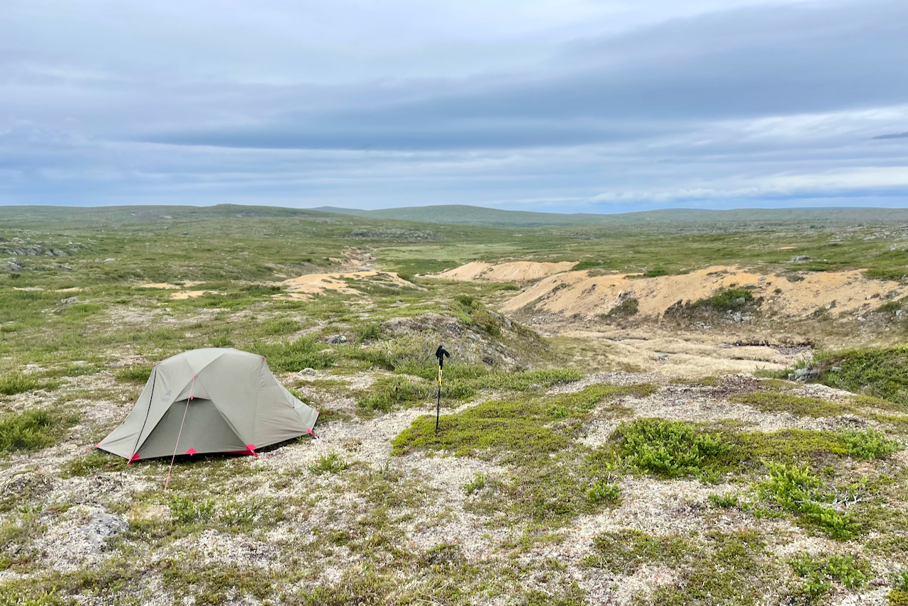
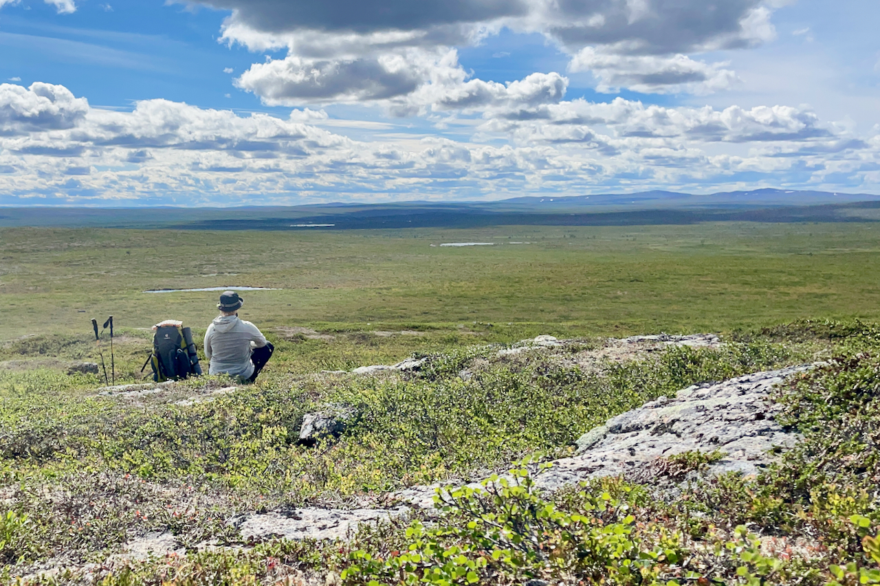
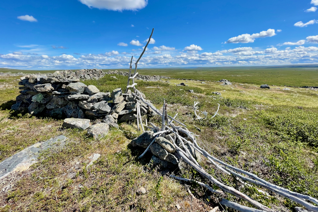
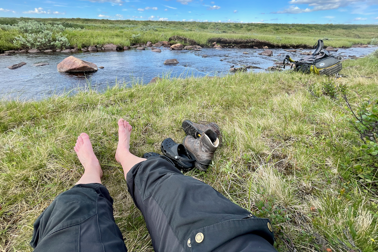
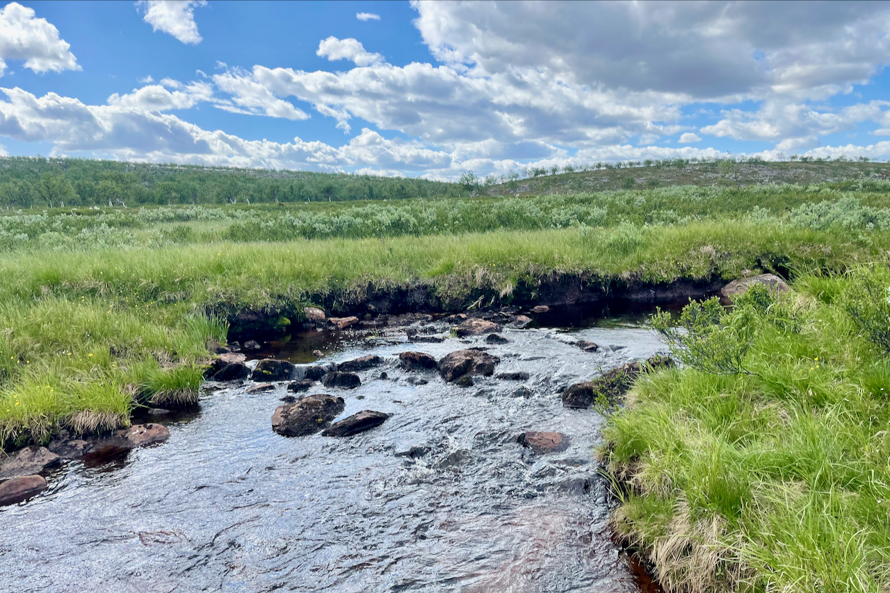
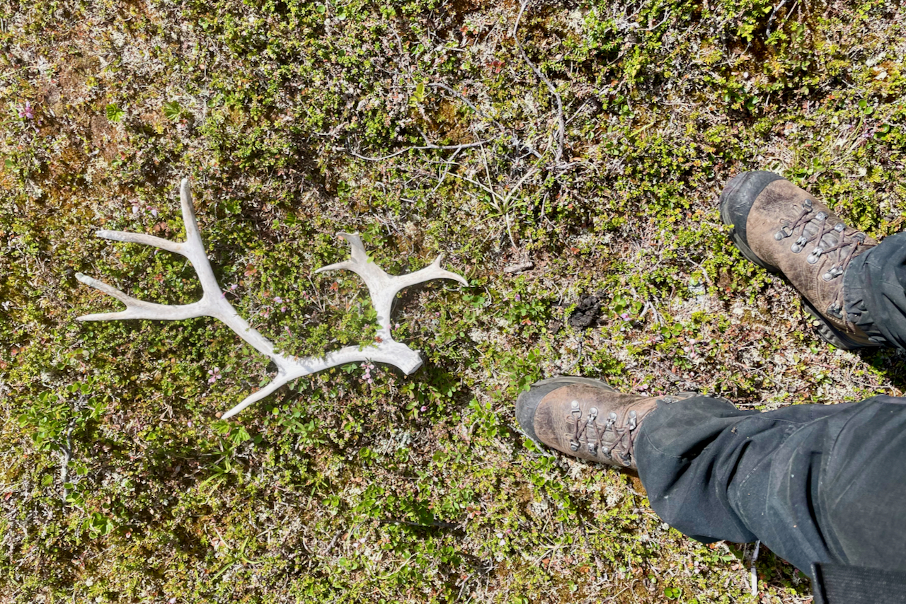
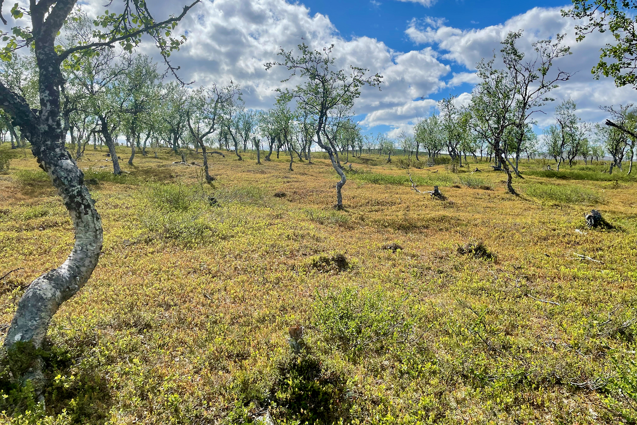
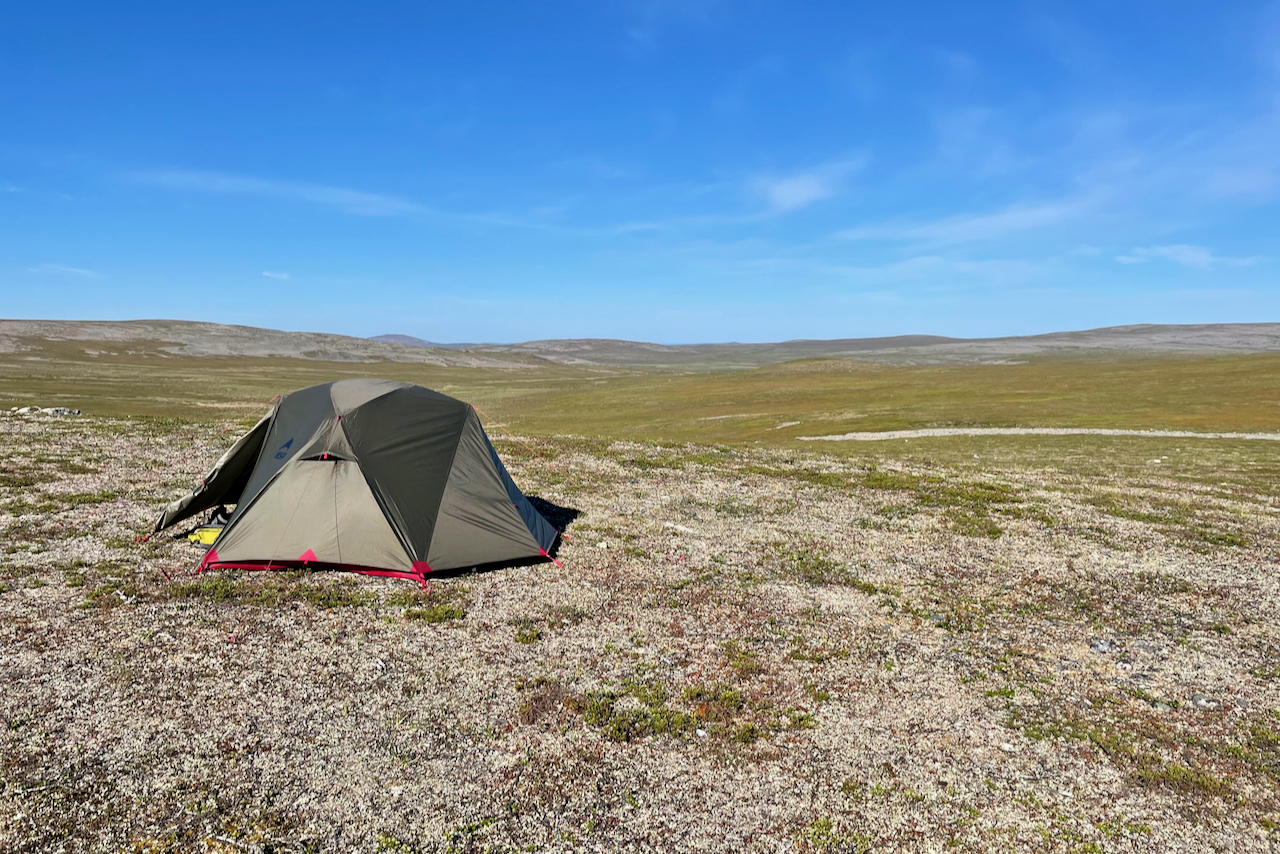
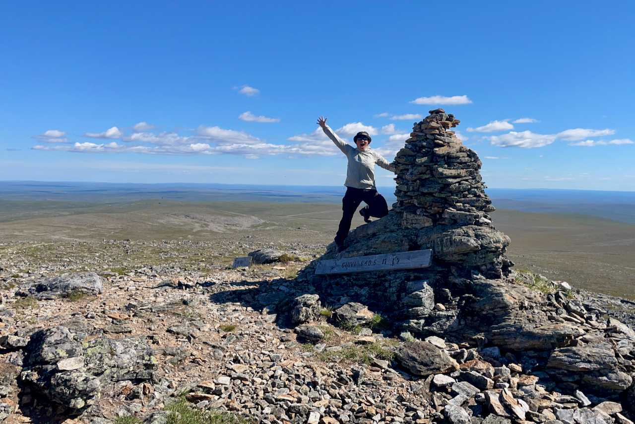
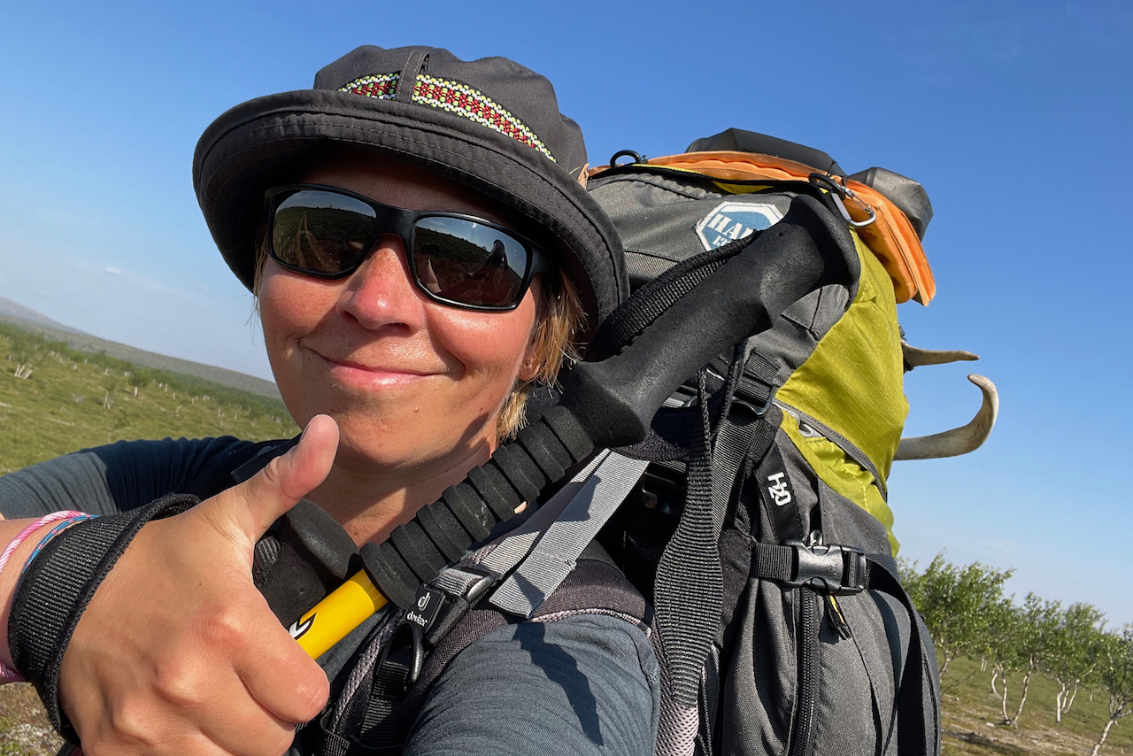
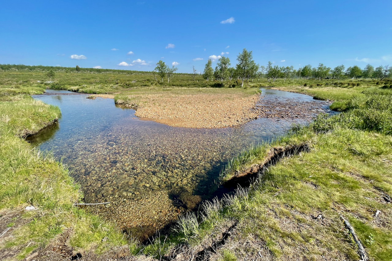
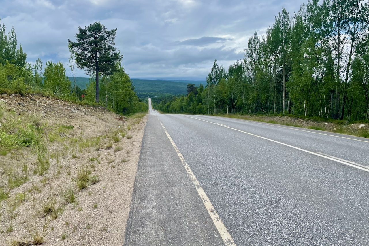
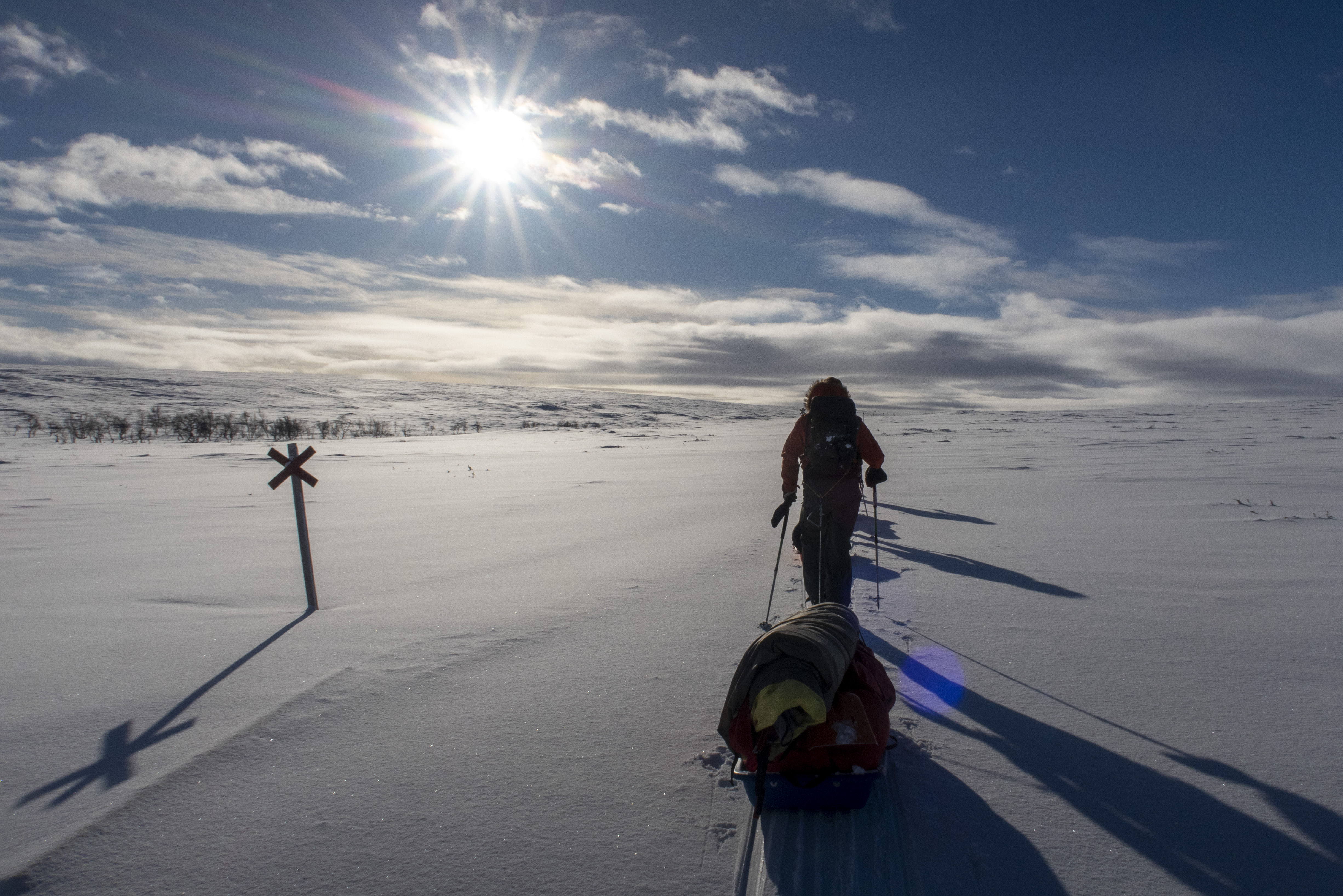
A week’s hike through Paistunturi Wilderness Area in Northern Lapland 24.6-1.7. My route was roughly: Utsjoki, Paistunturit, Guivi, a fast detour into Kevo Strict Nature Reserve, Sulaoja and at last Karigasniemi (104 km). And yes, there were mosquitoes – but I managed to avoid them pretty well, by keeping up in the open fells. My route in Google Maps.
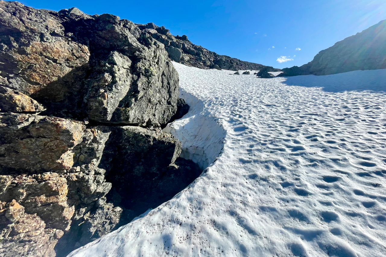
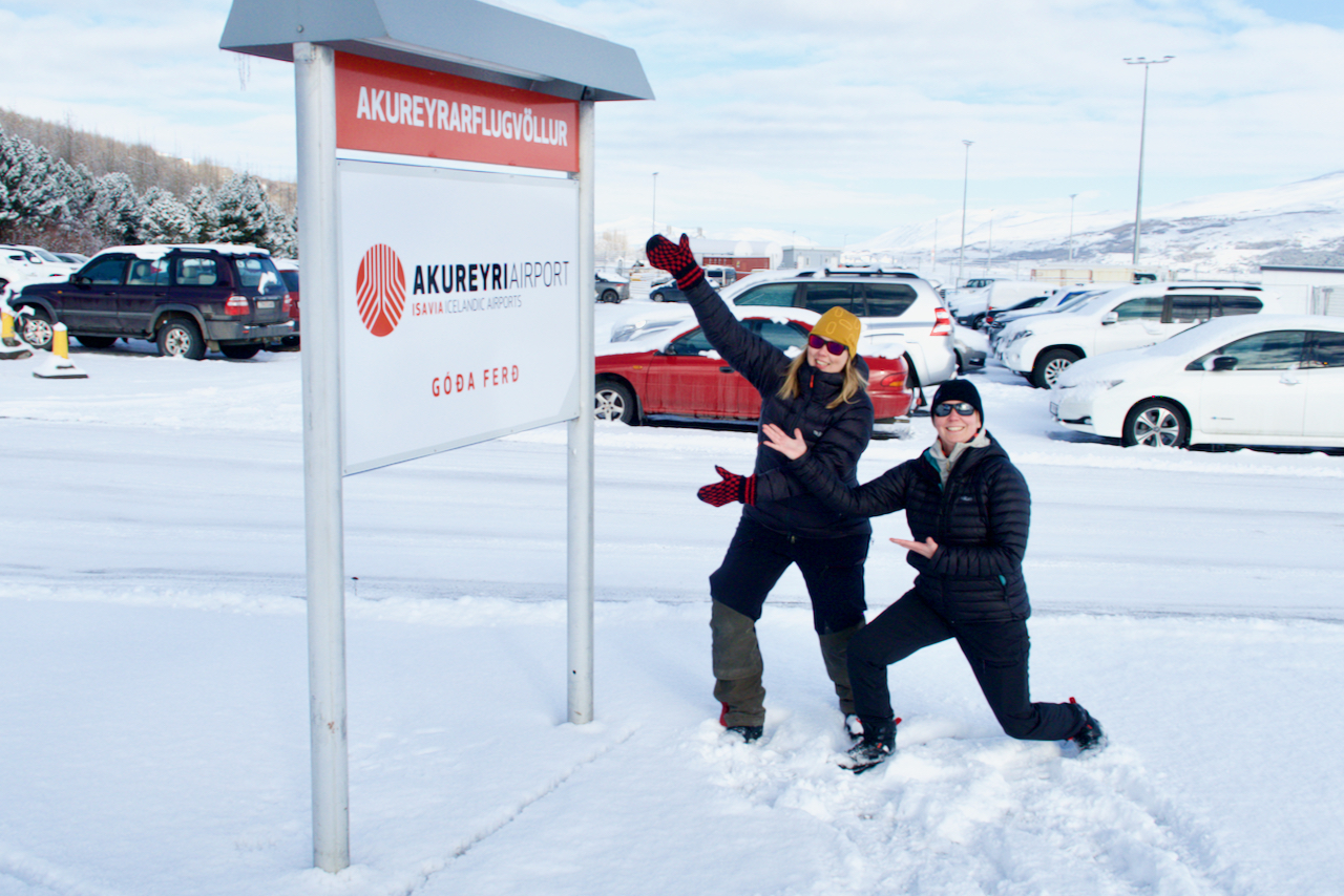
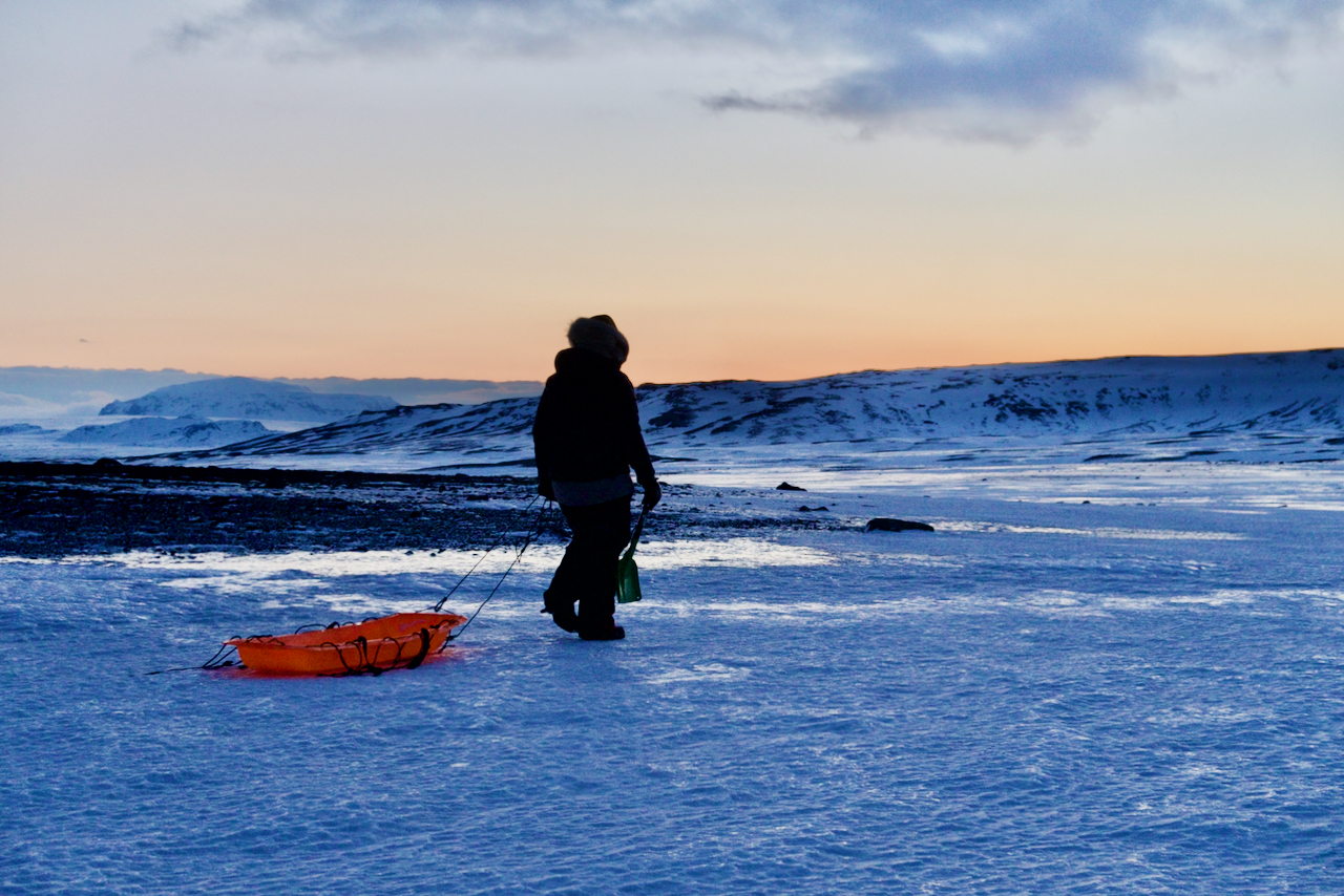
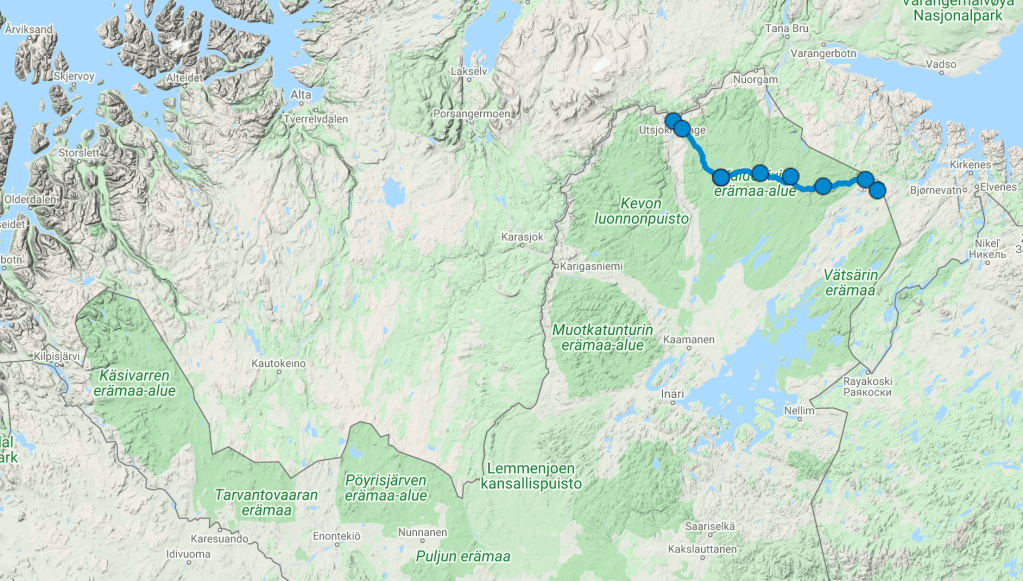
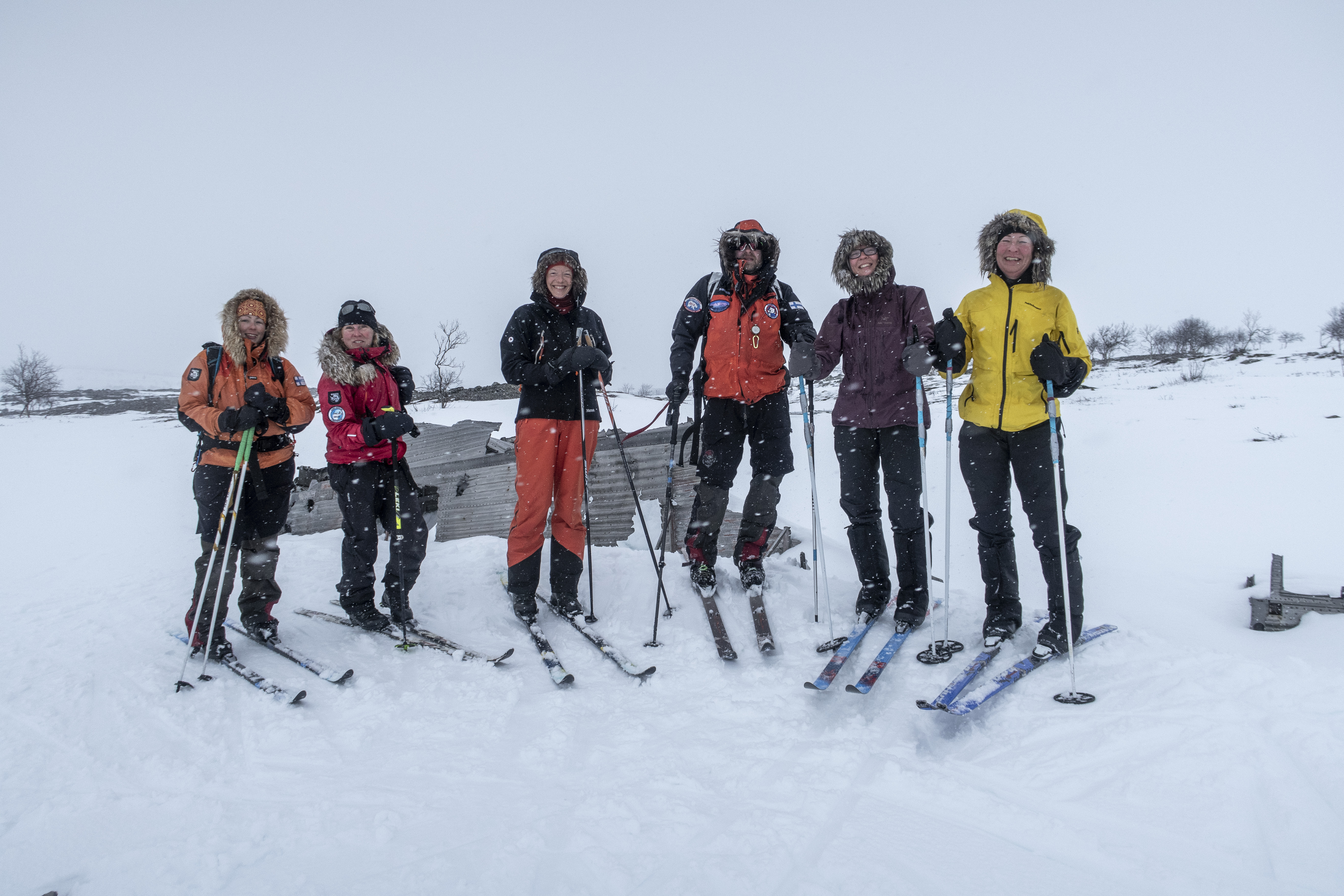
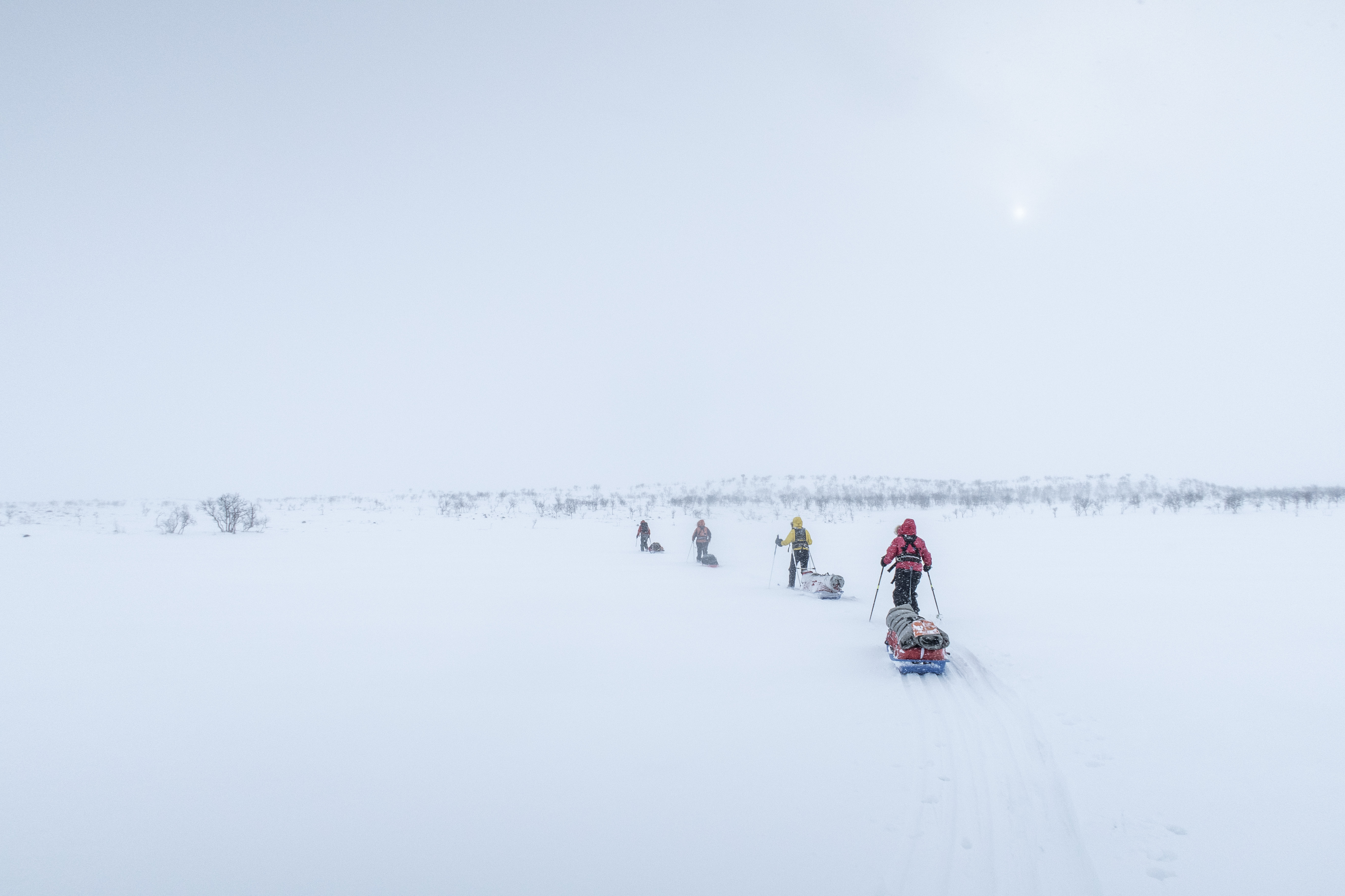
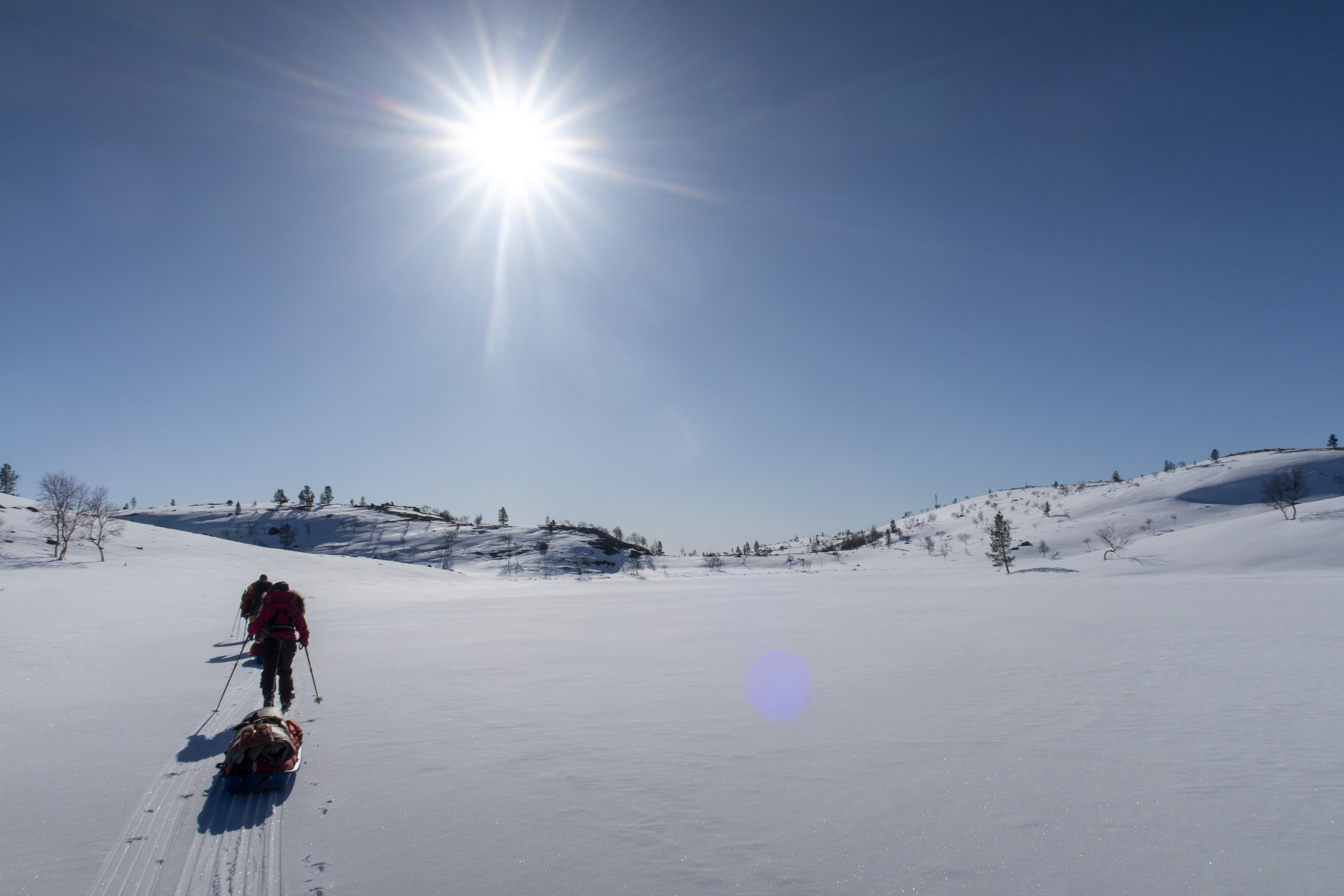
Here’s some photos and a description of our trip to Iceland earlier this spring. Our goal was to ski/hike across Iceland from the north coast to the south coast. We started from Akureyri, but we had difficulty finding a place to get up into the highlands. It was simply too little snow or too much snow in the wrong places. After we tried plans A, B and C, we realized that the avalanche risk was too high, and we took a step back.
Our plan D was to try a detour up to the highlands with a super jeep, but even that didn’t work. The progress in the deep powder snow was far too slow. So, we headed back to Akureyri to come up with a new plan.
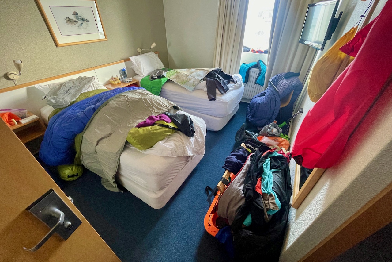
Our plan E-1 was to take a new route further west, but getting from Akureyri to the new starting point in Blönduós became a challenge itself. The bus we were supposed to take was cancelled due to bad weather. Our schedule didn’t offer many other options, so we bet big and took an (expensive) taxi, which became our plan E-2. But we didn’t make it to Blönduós… They closed the road just in front of us, due to strong wind and poor visibility. So we checked into a roadside hotel in Varmahlíð to wait out the storm.
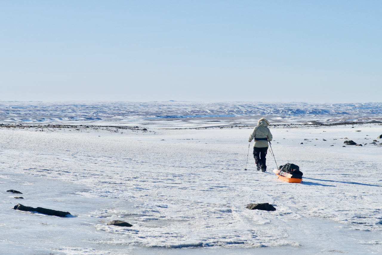
Plan E-3 was to (after the road opened) get a ride from Varmahlíð to Svínavatn with a guesthouse owner, from where we could start our new skiing attempt to the south. Luckily, he arrived in a super jeep, because even though the road was officially opened, it was still a big adventure to get to our destination in the stormy conditions.
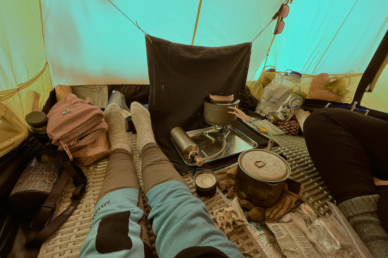
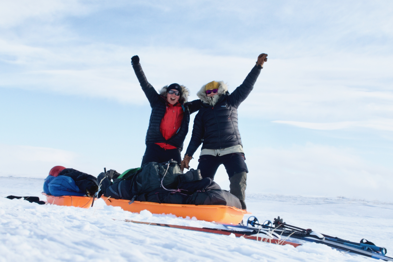
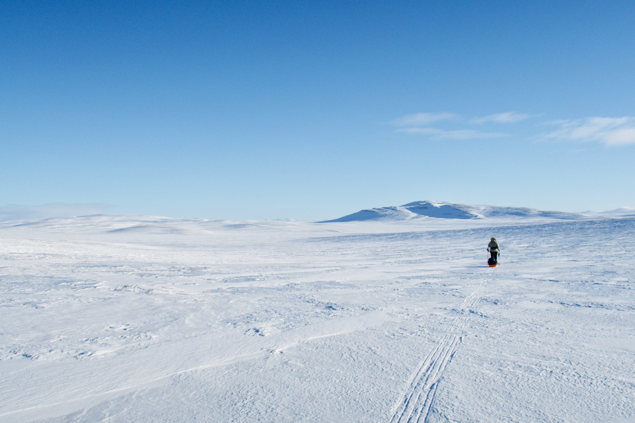
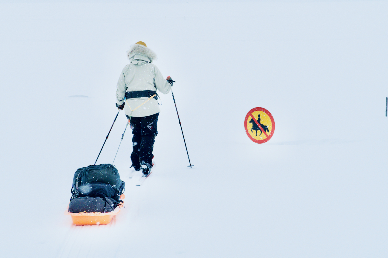
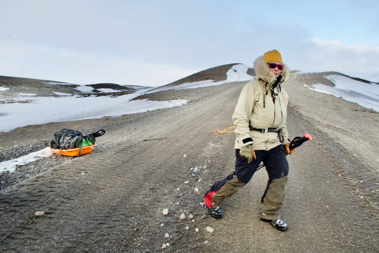
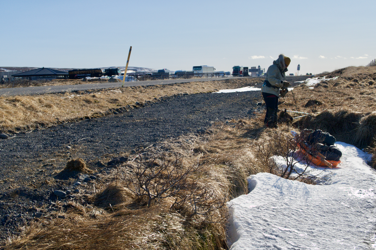
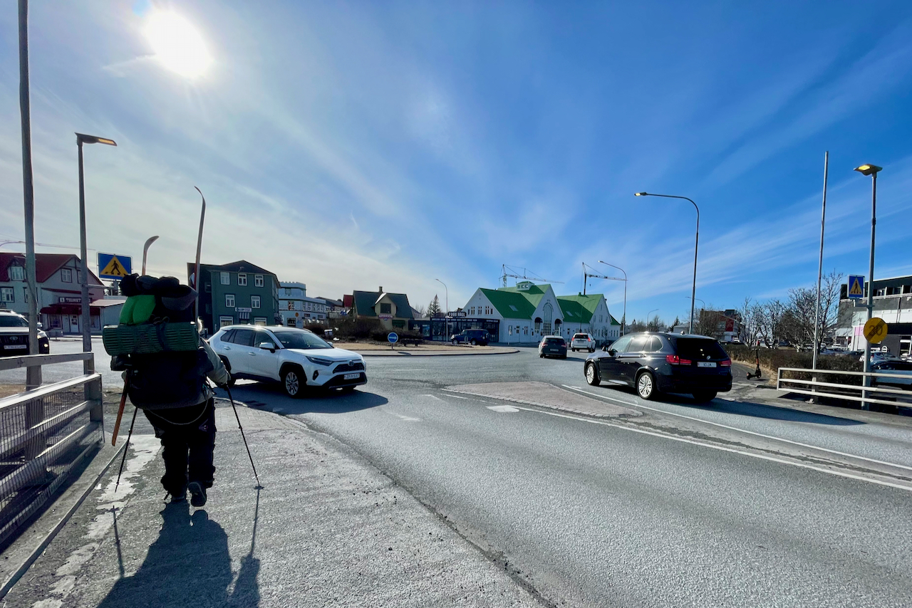
According our plan E-4 we now had 8 days to get from Svínavatn, via Gullfoss, to the south coast. That meant long distances per day, but it wouldn’t be impossible! On the fifth day of skiing, we reached Gullfoss waterfall, where the snow ended. There we packed the stuff from our pulks into backpacks and continued on foot. On the eighth day we hiked through Selfoss and finally reached the south coast at Eyrarbakki! A total of 231 km in 8 days (149 km skiing and 82 km hiking). Lesson learnt from this trip – Don’t give up, despite a rough and challenging start!
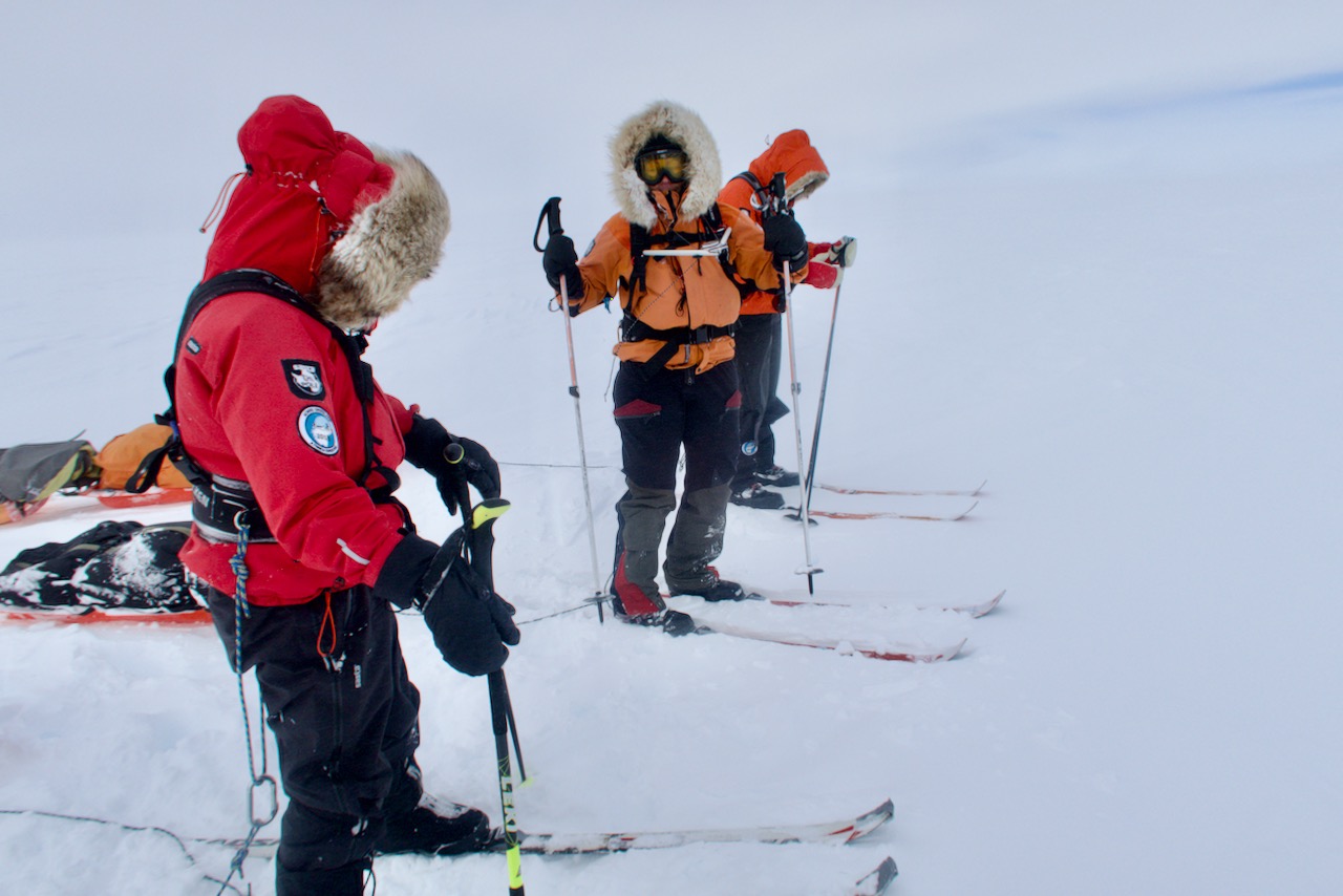
Many of you have asked details about the compass stand that we used during our Greenland crossing. Finally, I will give you details and drawings, so you can build your own! We (our expedition) think that it is the best compass stand there is! And it’s also a nice DIY project!
The most important thing is that you have the compass stand attached to the harness high enough, at chest height. (See the pictures below.) In this way, you don’t have to ski with a bent neck, and at the same time you can see ahead and clearly the compass itself. It’s also really easy to build and lightweight! We used Fjellpulken’s harnesses and the carabiners of our compass stand were a perfect fit for the harness! The cord lock allows you to lower the compass stand down if you have a break, and you don’t want the compass to be in you way.
Viikon hiihtovaellus Kaldoaivin erämaa-alueella, Utsjoelta Näätämöön (120 km) huhtikuussa 2021. Välikohteina Junkers JU-52 -lentokoneen hylky ja Adolfin kammi. Pääkohteena Norjan raja idässä.
Tämä oli viimeinen etappi Ankarat Avotuntureiden järjestämästä “Lapin halki 2021” -hiihtovaelluksesta. Blogikirjoituksia reissusta: https://avotunturit.fi/aiheet/lapin-h…
Nokka kohti Pohjois-Ruotsia! Suunnitelmissa on viiden päivän kesävaellus Ruotsin korkeimman vuoren ympäristössä. Jos säät sallii on myös vuorenhuiputus ohjelmassa, mutta tämän blogitekstin kirjoitushetkellä sääennuste näyttää aika vetistä taivalta… Saa nähdä jos suunnitelmat tulee muuttumaan…
Reissua varten olen tehnyt erilaisia valmisteluja. Ruoan puolesta olen paistanut hirvenjauhelihaa, ja sen jälkeen kuivannut sitä kuivurissa. Saman proseduurin pystyy myös tekemään uunissa jos ei omista kuivuria, vaikka se onkin hitaampi tapa saada liha rutikuivaksi. Ja hirveä siksi, koska mitä vähärasvaisempi liha, sitä parempi se kestää säilytystä. En myöskään käytä yhtään rasvaa paistamiseen. Olen myös kuivannut mangoa, mikä mielestäni on loistava snacksi pitkiä vaelluspäiviä ajatellen.
Valmisteluihin kuuluu myös kamppeiden pakkaaminen. Minulla on yleensä seuraavaa systeemi, jotta mikään ei unohtuisi: Teen listan kaikista varusteista ja vaatteista, jonka jälkeen kerään ne yhteen paikkaan. Pakkaan varusteet vesitiiviisiin pusseihin, jonka jälkeen pakkaan ne rinkkaan. Siten ei haittaa vaikka kaivaisi rinkasta jotain kaatosateella, kun kaikki on vesitiiviisti pakattu.
We are soon heading towards the north of Sweden! The plan is to do a 5-day hike in the surroundings of Sweden’s highest mountain. If the weather is on our side, we are going to try summit Kebnekaise, but at the time of writing this blog, the weather forecast seems to be quite wet… Let’s see if the plans are going to change…
For the trip I have done a variety of preparations. For food preparations I have baked minced elk, and then dried it up in the food dehydrator. The same procedure can also be done in the oven if you do not own a dehydrator, even though it is a slower way to make the meat dry. And elk because low-fat meat is better for preservation. I do not even use any fat for frying. I also have dried some mango, which I think is a great snack for long hiking days.
Preparations also include equipment and clothes packing. I usually have the following system so that nothing will be forgotten: I will make a list of all the equipment and clothing, and then collect them in one place. I pack the equipment into watertight bags, and then pack them into the backpack. So, it does not matter if have to, for some reason, empty my backpack in pouring water when everything is watertight packed.